Hi –
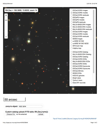
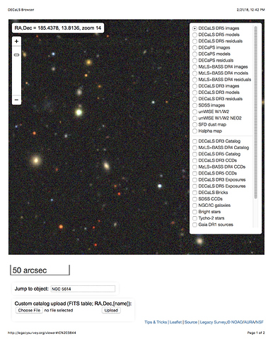
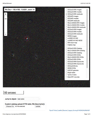
At discussions at the NOAO 2020 workshop, it occurred to me that I didn’t know if residual images would be available (or easy to produce) from LSST DM. For DECaLS, they have been very valuable for diagnosing issues with particular objects. I encourage you to check this out at the legacysurvey sky viewer, but here are some examples of what you can get: for a small patch of the sky, this shows the reduced image, the model of this image (corresponding to the objects in the catalog and their properties), and the residual image when the objects are subtracted off.
Would something like this be directly available in data releases (or made easy to generate on the fly)?
Hi Jeffrey,
Thanks so much for your question. All-sky residual images in which models for the sources have been subtracted are not one of the imaging data products that DM plans to generate and serve (Section 4.4 of the Data Products Definitions Document), but this is because they should be straightforward for users to produce on the fly, as you say. We anticipate that the services of the Science Platform (early descriptions in LSE-319, LDM-542) and its embedded access to the Software Stack will enable users to easily generate these kinds of data products for their desired areas, with model parameters tailored to their science goals. We also anticipate that the analysis tools provided by the Science Platform will allow for in-browser viewing of such user-generated data products, as in your example.
Thanks again for posting this question to the Data Q&A category. If there are any follow-up questions or clarifications, please do not hesitate to respond to this thread!
Melissa


