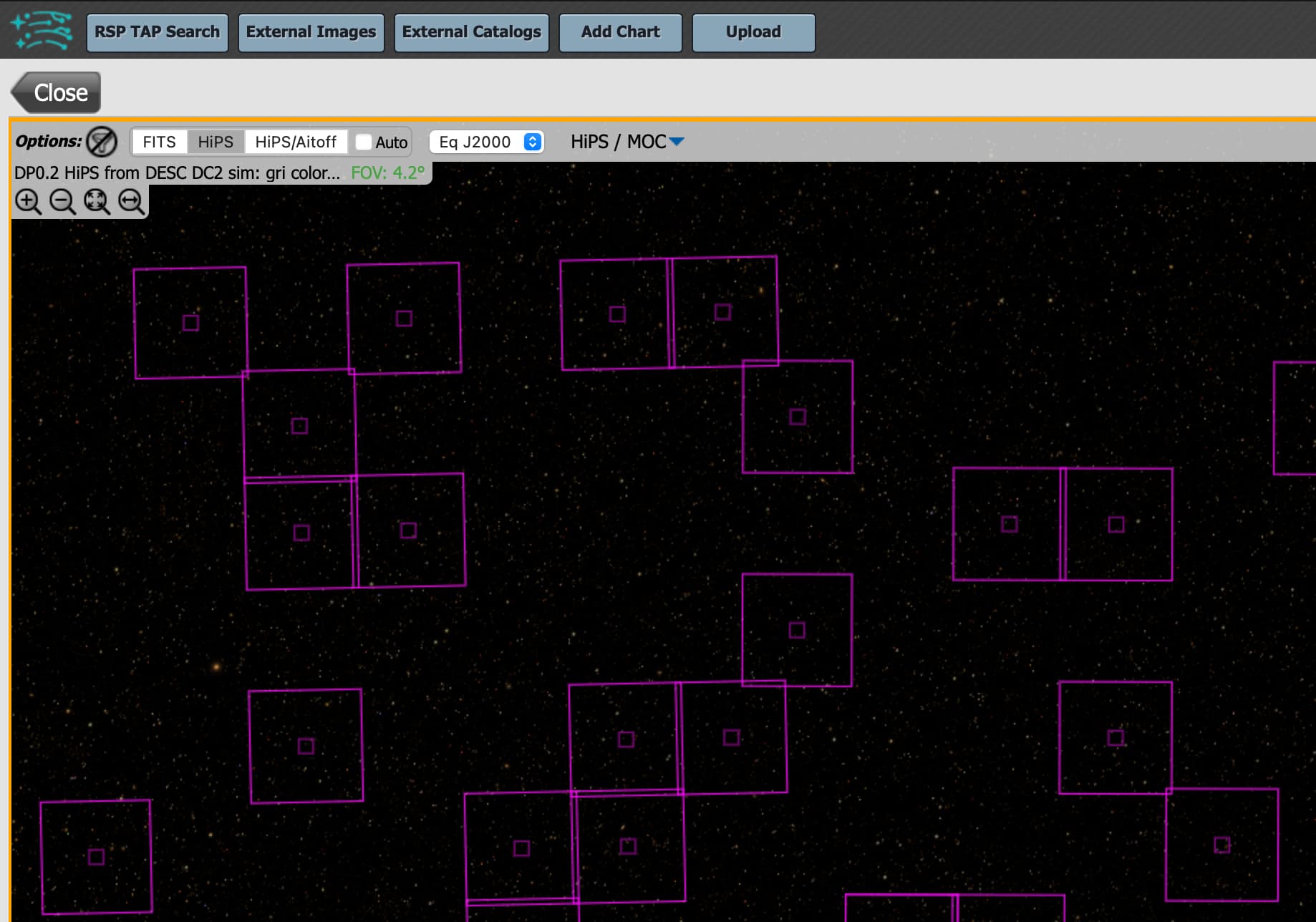
Following today’s Patch Thursday, the portal on data.lsst.cloud now uses our own HiPS service and data by default for coverage and footprint information. The HiPS tiles are generated from the DP02 coadds combined to form three-color (gri) images.
As a reminder, you can attend our virtual event on July 8th to learn more about the new data products and services for DP0.2